Bathymetric Services for Safety of Navigation
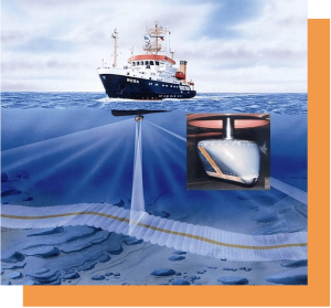
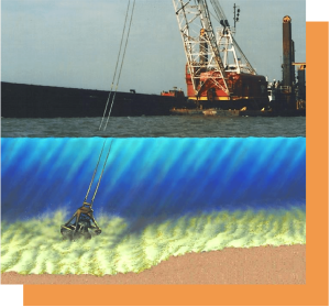
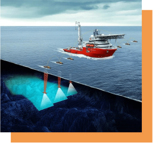
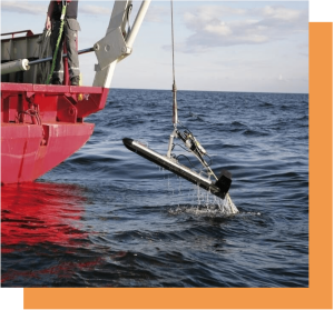
Equipped with extensive field experience, LYUMARINE surveyors can carry out a survey in shallow to medium water depths, meeting IHO S-44 standards with the high emphasis on the safety of navigation. The supreme quality data sets gathered using the high-end swath sonar systems would be then made suitable for submission to a National Hydrographic Office to produce or update the navigation charts. Accurate charting helps to keep waterways safe for vessels and transport.
Determining the least depth across a busy seaway in coastal areas proven to be a very critical job demanding a lot of experience and knowledge. Application of the state of the art high-resolution multibeam echo sounders ensures confident detection of the small features that pose a danger to navigation: vertical piles, rocks and misplaced damaged gabions, anchors, chains, etc.
